The hidden nature walks locals love but tourists miss
While visitors queue for the Darwin Waterfront and Mindil Beach, residents are quietly logging kilometres on trails that most guidebooks have never heard of.
While visitors queue for the Darwin Waterfront and Mindil Beach, residents are quietly logging kilometres on trails that most guidebooks have never heard of.
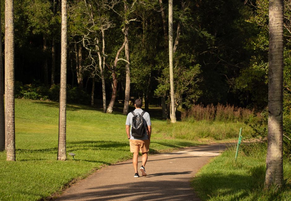
Darwin's most devoted walkers are not at the wave lagoon. On any given weekday morning, before the humidity climbs past bearable, dozens of locals are threading through patches of monsoon vine forest and paperbark wetland that sit, unmarked and undersung, within a few kilometres of the CBD. The city has more accessible green corridors than its reputation as a pub-and-croc town suggests, and residents who know them guard the secret with something close to pride.
The timing matters. Darwin's property market has softened through the first half of 2026, and cost-of-living pressure is real across the Northern Territory. Free, walkable green space carries genuine value when gym memberships at facilities like the Darwin Waterfront Recreation Zone run upwards of $70 a month. The Darwin Runners Club, which logs more than 400 active members and organises weekly Saturday morning runs from various suburban starting points, has seen registration inquiries lift about 30 percent since January — committee members put part of that down to people looking for structured, zero-cost fitness options.
Casuarina Coastal Reserve is the obvious one that locals will mention, but even there most tourists stick to the beach strip near Casuarina Drive and never push inland to the vine forest loop that branches south toward Dripstone Cliffs. That inland section — roughly 3.5 kilometres return — runs through dense canopy that drops the temperature a noticeable few degrees and opens onto sandstone bluffs with unobstructed views across Beagle Gulf. Go at low tide and the exposed reef shelf below the cliffs is worth the detour alone.
Less discussed is the Charles Darwin National Park trail system, just off Tiger Brennan Drive, which covers around 20 kilometres of marked and unmarked tracks across mangrove, woodland and open escarpment. The park's eastern boundary brushes the industrial edge of East Arm, which sounds unappealing, but the contrast — suddenly standing on a ridge above tidal flats with frigate birds overhead — is the kind of thing Darwin residents describe as their private reason for staying. Top End Health Service runs a chronic disease exercise referral program that specifically lists Charles Darwin National Park walks as a recommended low-impact option for eligible patients.
Ludmilla Creek, threading through the suburb of Ludmilla toward Fannie Bay, is another one. The creek corridor is managed partly by the City of Darwin and partly by Territory Parks, and the signage is patchy enough that first-time visitors usually give up. Locals don't. The 2.2-kilometre loop from the McMillans Road end passes through paperbark forest dense enough to muffle traffic noise entirely — remarkable given it sits inside the inner suburbs.
Part of the reason these walks stay local is infrastructure. Darwin City Council's online trail map, last substantially updated in late 2024, lists major recreational paths but omits several of the informal routes that have been worn into existence by years of resident use. The NT Government's Parks and Wildlife Commission maintains a separate database, but cross-referencing the two takes effort most tourists aren't going to make after a day at Crocosaurus Cove.
The Darwin Runners Club publishes a free route library on its website — updated monthly — that includes GPS files for several of the less-documented corridors, including a 6-kilometre circuit that links the Ludmilla Creek reserve to the Rapid Creek foreshore. That's probably the most useful single resource for anyone who wants to move beyond the waterfront precinct.
The practical advice is simple. Start before 7 a.m. — by 9 a.m. in July, even dry-season temperatures are pushing into the high 20s and the light loses its quality. Carry a minimum 1.5 litres of water. The NT Parks and Wildlife website lists current track conditions after any significant weather event, and the monsoon-season closures for Charles Darwin National Park typically run from around December through March. Right now, mid-dry season, everything is open and the ground is firm. That window closes faster than newcomers expect.
For anyone managing a health condition, Top End Health Service's exercise physiology team at Royal Darwin Hospital can provide tailored guidance on which trail types suit specific fitness levels. General walk information is freely available from City of Darwin's parks team by phone on 08 8930 0300.
Your reaction
Spread the word
About this article
Published by The Daily Darwin
Daily brief
Free, in your inbox before 7am. Weekdays.
The Daily Network — local news across Australia